
Infrastructure Intelligence, reality capture & Geospatial Consulting & Services.
Drone Squad LLC helps General Contractors, Municipalities and Government agencies capture, analyze and integrate infrastructure data for better construction, asset management and urban city planning & decision-making.
Infrastructure Intelligence for the Physical World
Drone Squad LLC helps General Contractors, Municipalities and Government agencies capture, analyze and integrate infrastructure data for better construction, asset management and urban city planning & decision-making.


CAGE: 9B0N6 | UEI: T4C2G1PPKPY7


From Reality Capture to Actionable Intelligence

Infrastructure Intelligence
Capture. Map. Understand.
LiDAR Mapping
Infrastructure Documentation
Transportation Corridors
Drainage & Culverts
Asset Mapping
GIS-Ready Deliverables

Construction Intelligence
Measure. Verify. Document.
GIS / ArcGIS
BIM
CAD
Digital Twins
Asset Management Systems
Project Controls
3D Environments

Smart Infrastructure
Integrate. Manage. Modernize.
GIS Integration
Digital Twins
Asset Intelligence
Infrastructure Data Strategy
UAS Program Applications
Smart-City Applications
Drone Squad combines advanced reality-capture technology, geospatial workflows, and construction knowledge to help organizations better understand their projects and physical infrastructure.

We Don't Just Capture Data. We Make It Useful.

Drone Squad uses aerial and terrestrial reality-capture technologies to document physical environments.
Create the digital record.
01 — CAPTURE
LiDAR
Photogrammetry
Orthomosaics
3D Reality Capture
Aerial Mapping
Terrestrial Scanning

02 — PROCESS
Transform raw information into usable data.
Collected information is processed into structured geospatial and project deliverables.
Point Clouds
DEM / DSM
3D Models
Contours
Measurements
Surface Models
Asset Locations
Change Detection

03 — ANALYZE
Turn data into intelligence.
This is where Drone Squad begins becoming a consultant rather than simply a data collector.
Earthwork Quantities
Construction Progress
Infrastructure Conditions
Elevation Changes
Drainage Conditions
Corridor Information
Existing Conditions

04 — INTEGRATE
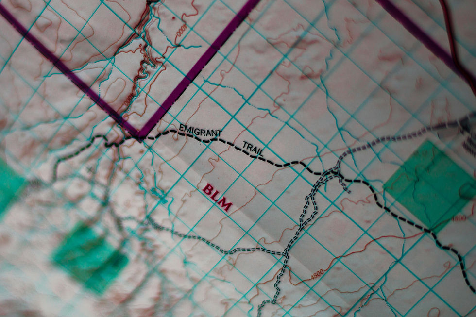
Put the information where agencies can actually use it.
GIS / ArcGIS
BIM
CAD
Digital Twins
Asset Management Systems
Project Controls
3D Environments
05 — INFORM
Support better infrastructure decisions.
Construction Decisions
Asset Management
Capital Planning
Maintenance
Smart Infrastructure
Better Infrastructure Decisions Start With Better Data
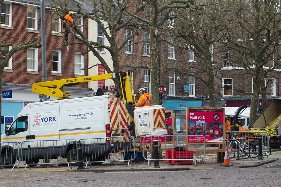
Government agencies manage thousands of physical assets across roads, bridges, drainage systems, facilities, utilities, and public spaces. Drone Squad helps agencies create accurate digital records of these environments and transform that information into usable infrastructure intelligence.

Transportation
Public Works

Facilities

Stormwater & Drainage

Urban Planning

Geospatial

Engineering

Emergency Management

Technology Is Only Valuable When It Solves a Problem.
Construction + Technology Understanding
We understand how data must support actual field and project decisions.
System Integration Mindset
We consider how collected information can support ArcGIS, BIM, CAD, project controls, and digital environments.
Actionable Deliverables
Our focus extends beyond data collection to producing information clients can use.
Veteran-Owned Execution
Mission-focused leadership emphasizing accountability, precision, and reliability.
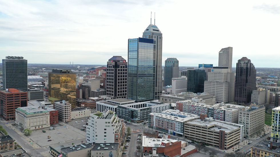
Advancing Smart Infrastructure in Indiana
Government agencies manage thousands of physical assets across roads, bridges, drainage systems, facilities, utilities, and public spaces. Drone Squad helps agencies create accurate digital records of these environments and transform that information into usable infrastructure intelligence.
UAS Integration
Exploring practical drone applications for public infrastructure inspection, documentation, and asset management.
Smart Infrastructure
Developing data-driven approaches that can help municipalities better understand and manage physical infrastructure.
Digital Infrastructure
Connecting physical environments with ArcGIS, digital twins, and emerging infrastructure technologies.